Map
Orto Di Donna
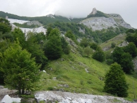
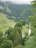
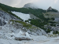
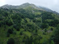
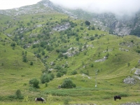
Orto di Donna is a very picturesque alpine scenery and important in terms of natural beauty.
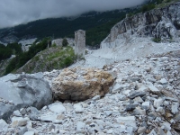
Are some clear evidences of majestic boulders lying in the valley and away from walls; signs of a glacial Pleistocene.
This valley is surrounded by the massif of Mount Pisanino (1946 m.), east, west from the Pizzo d'Uccello (1781 m.) and Grondilice (1809 m.), south from Mount Cavallo (1889 m) and Mount Contrario (1789 m.).
Mount Pisanino, rises on the landscape with its enormous height, which is in fact the highest peak of the Apuan Alps.
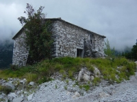
We will see side by side to the excavation of recovery actions that the Park is in the ancient cave.
From this valley comes to the Serchio Gramolazzo which converges near Gramolazzo forming the homonymous lake.
How to get there.
From Lucca: Garfagnana follow signs for Castelnuovo Garfagnana, Piazza al Serchio Gramolazzo, Orto di Donna-Rifugio Donegani (1150 m): about 82 km. Gramolazzo -> Rifuglio Donegani: 10 Km
From Lunigiana: Aulla Casola way up to Minucciano and continue on the road to Rifugio Guido Donegani, a starting point for lovers of mountains and nature.
Orto di Donna as well as being a fascinating place, is also a marble basin of prime importance.
The Mountain dew Val Serenaia (Rifugio Val Serenaia): on the road leading to the cave.
After this, the The Mountain dew Donegani(Rifugio Donegani) (1150 m.) tel.0583-610085 can be reached by car and is situated on the road leading to the cave.
Links: e-toscana.com/alberghi/donegani.htm, rifugiodonegani.it
The Mountain dew Orto di Donna (Rifugio Orto di Donna) (circa 1496 m.)
Link: rifugialpiapuane.it
